Fleet
Having the right hardware makes all the difference — it keeps things consistent and helps us get the best outcome for you.
We’ll work with you to understand your needs, choose the right platform and payload, and carry out the work professionally.
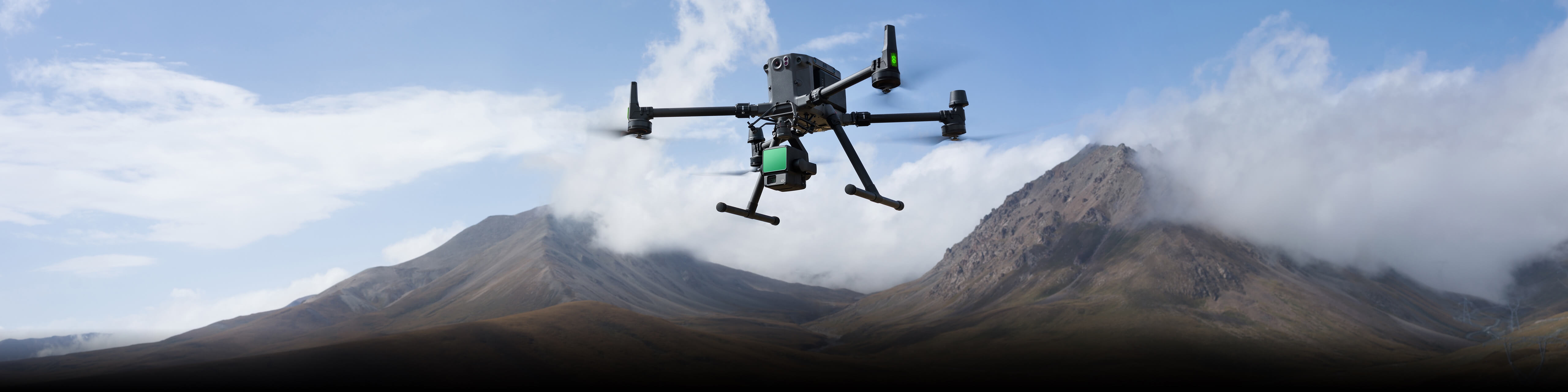
RTK-enabledUp to 55 min Flight TimeIP45 weather rating3 kg Payload
DJI Matrice 300 RTK
Our primary workhorse for LiDAR surveying, 3D modelling, and RGB / thermal asset inspection.
EnquirePayloads
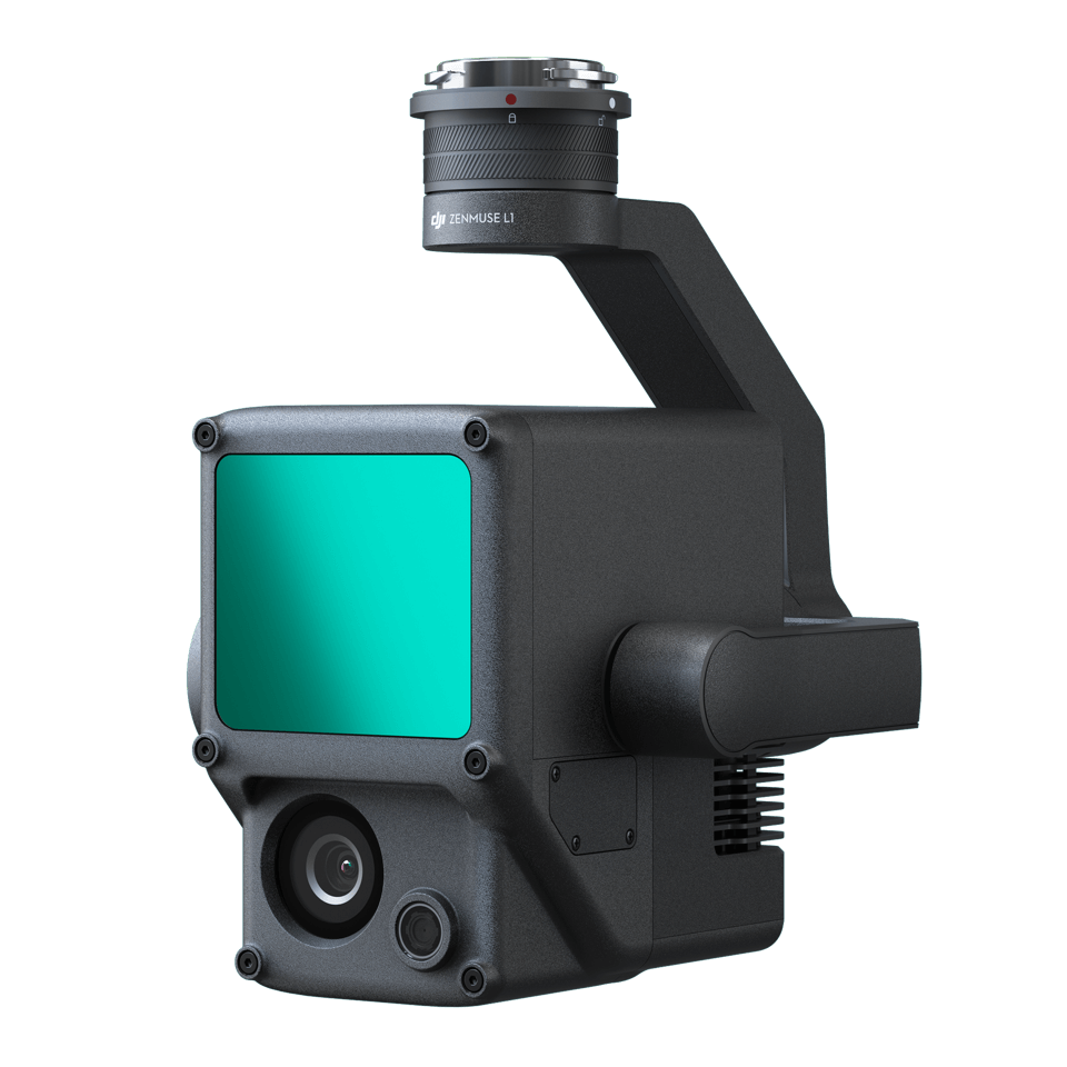
High density point cloudHigh penetrationIP 44 weather rating
LiDAR
- output as LAS/PNTS point cloud, directyly generate DEM/DSM
- capable of penererate highly density area, reduce human access risks and high effencicy.
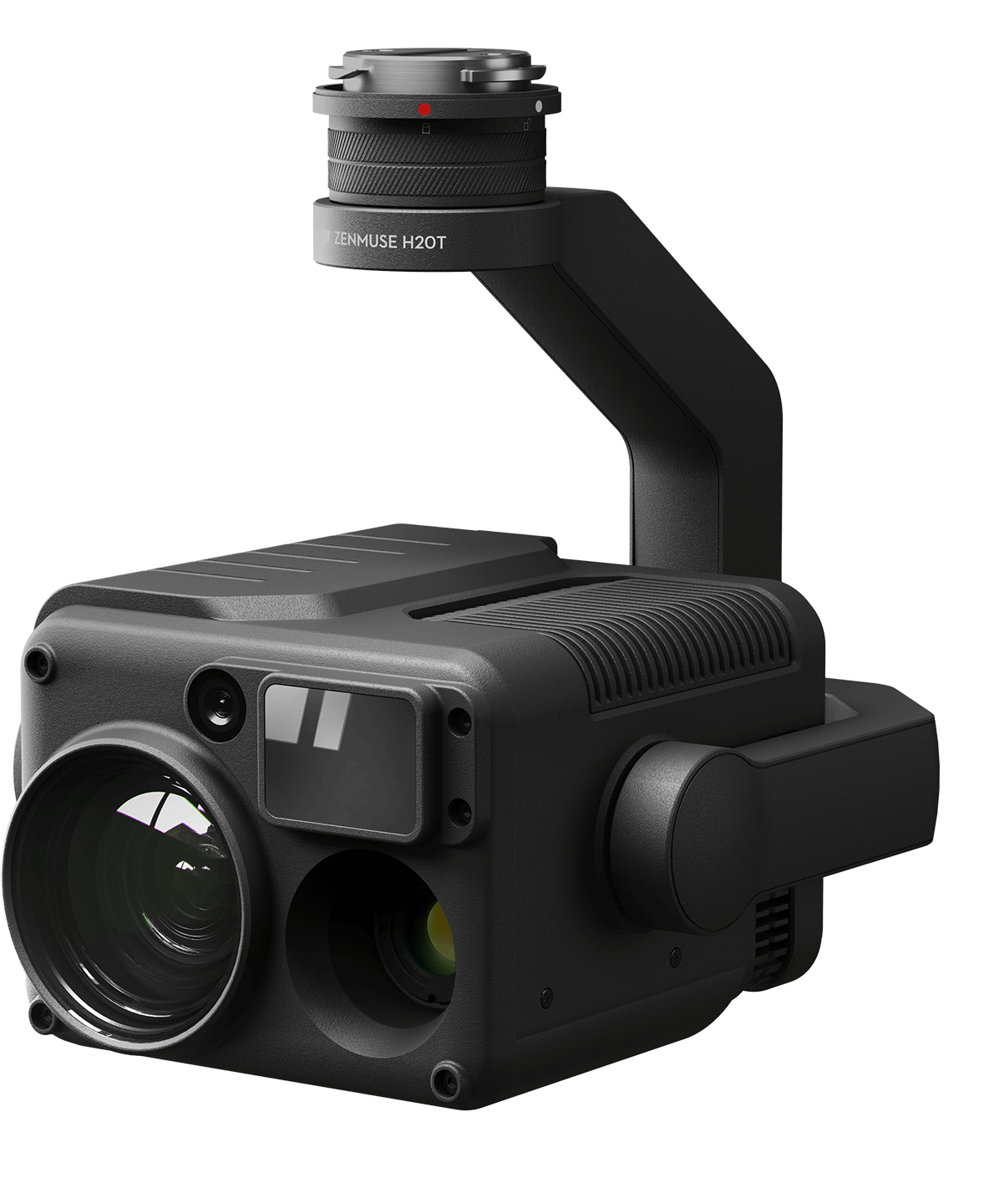
640×512 Thermal200x Zoom1.2km laser rangefinderIP 44 rated
Thermal + hybird RGB Zoom
- Thermal captures for hotspot detection and fault indicators.
- Zoom imagery to confirm and document asset condition.
- integrate into gerospectial data helps to located the spot at ease
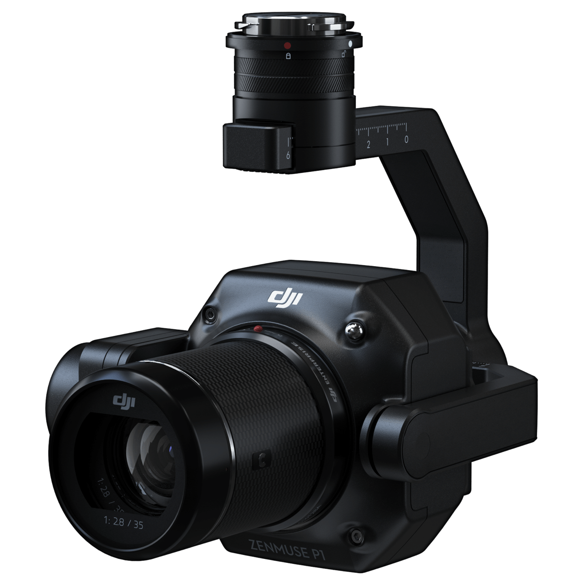
45MP full frameswitable lens
Mapping / Photogrammetry
- Fast modeling for assets.
- Repeatable capture plans for change detection over time.
- Outputs can align to GIS workflows.

Not sure what you need?
Send your site location, desired outputs and timeline — we will advise the best solutions for you.
Contact us