Enterprise Drone Solutions
LiDAR modelling, aerial mapping, thermal inspection, and asset inspection
Learn more ↓Industry UAV Services
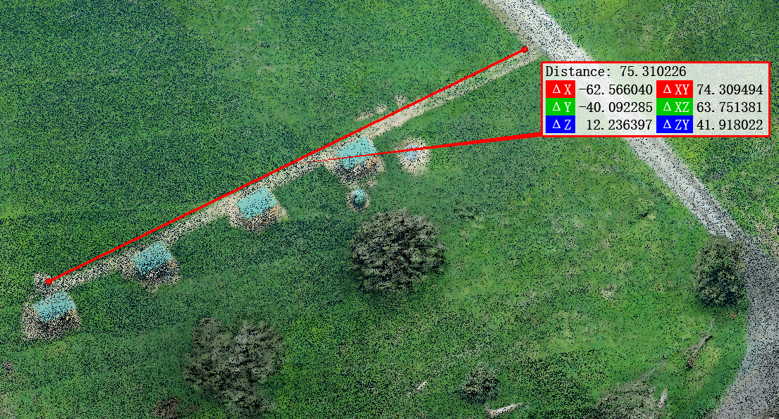
LiDAR
For drone surveying of complex vegetated areas, our LiDAR services can map the ground for terrain models and contours.
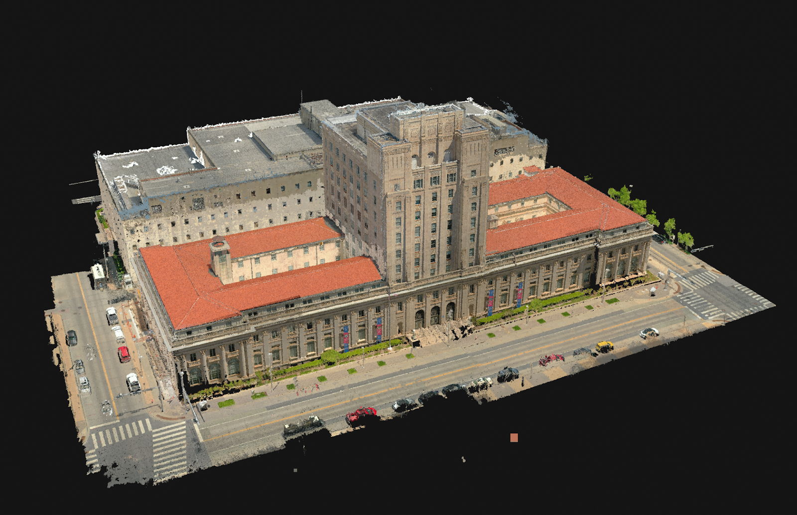
Aerial Mapping
Aircraft equipped with high-resolution camera technology are employed to capture detailed imagery and terrain data.
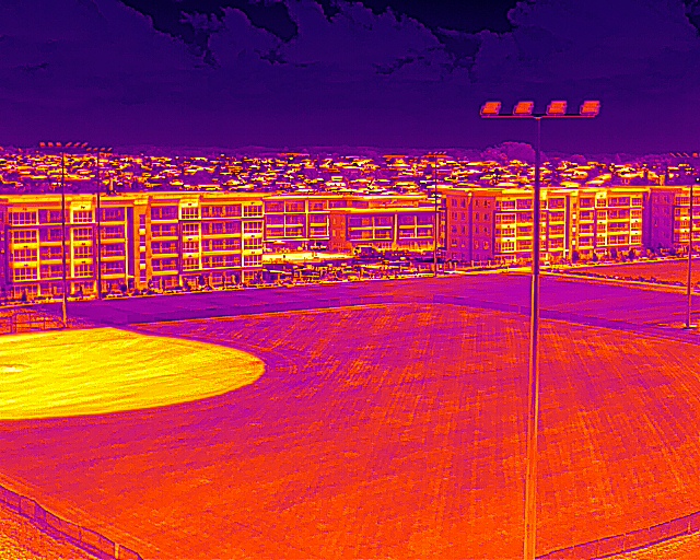
Thermal Inspection
Radiometric thermal inspections for solar PV arrays and assets, delivered with clear reporting.
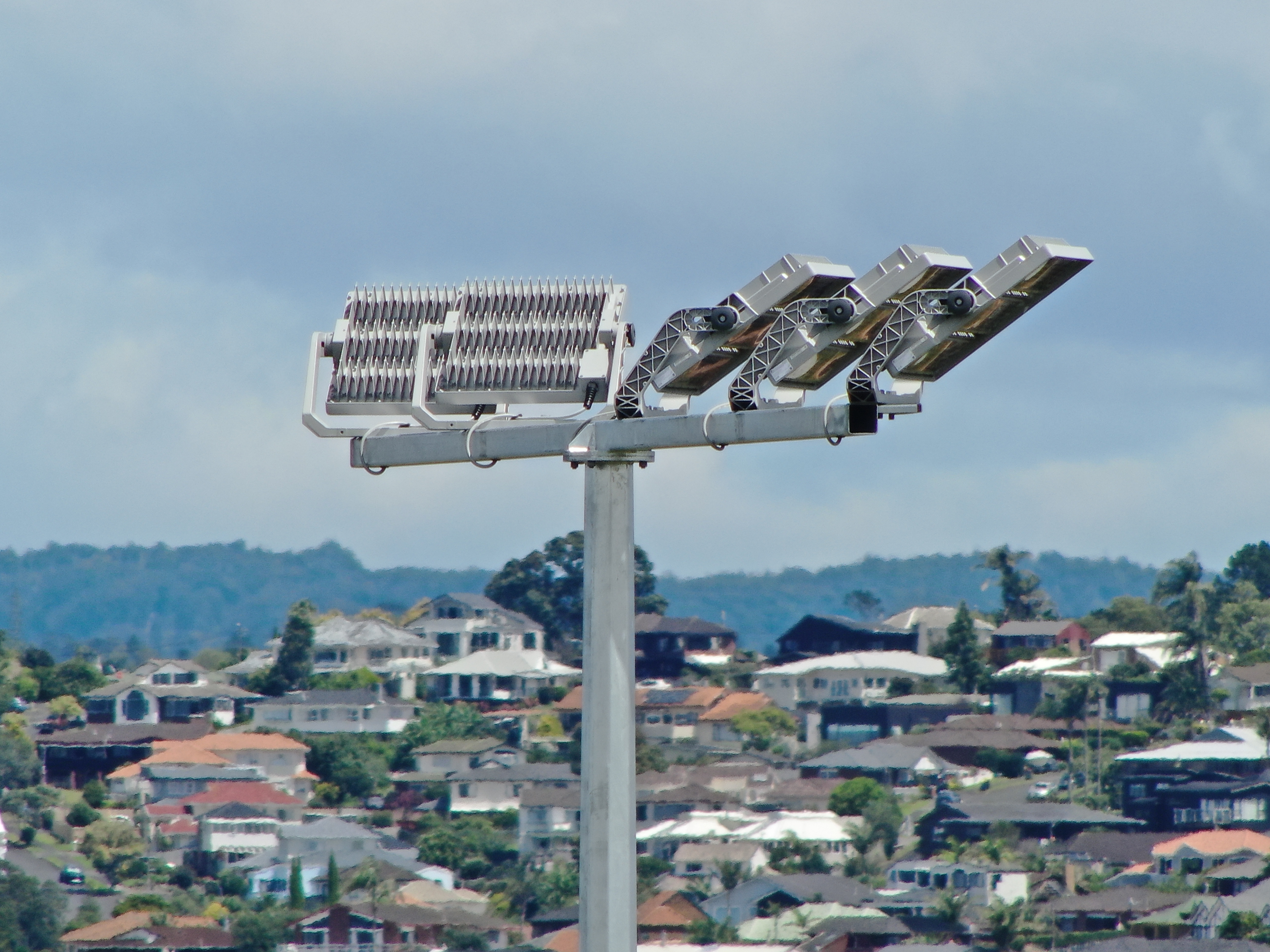
Asset Inspection
High-resolution zoom and thermal inspection for infrastructure and assets, with clear, referenced reporting.